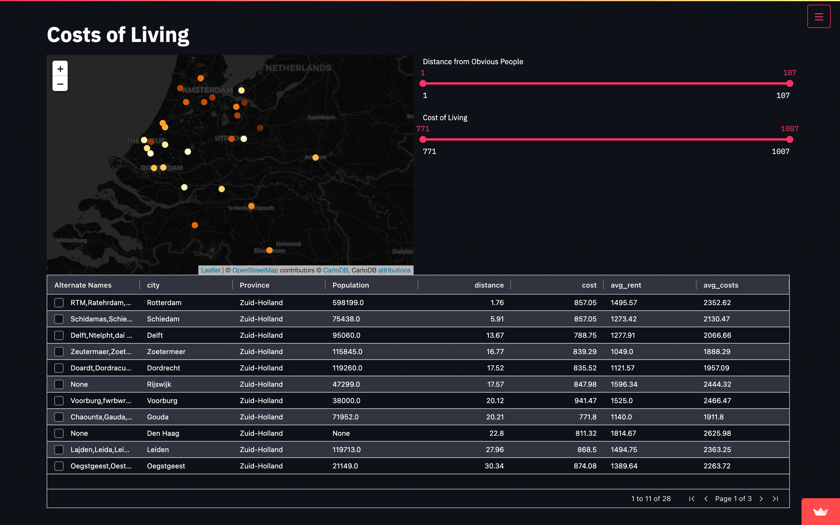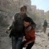
Syrian War with Folium and Time Stamped GeoJSON
Through the python, I used the Folium package and its TimeStampedGeoJSON plugin to create a map of the Syria War between 2012 and 2018. This map can be seen here in this link.
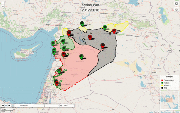
The map shows the evolution of the war every 4 months between January 2012 and January 2018 dividing the Syrian polygon into territories dominated by different political groups.
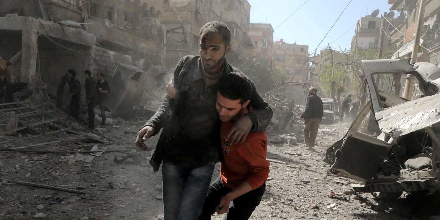
Several maps were overlaid and more non-cartographic information was added, such as photos and videos before and after the destruction. Some images or videos may have disappeared or changed the link and may not be displayed.
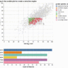
Code Source: Here you can find the code: GitHub